Balmoral Close
Introduction
The photograph on this page of Balmoral Close by Bryan Tenny as part of the Geograph project.
The Geograph project started in 2005 with the aim of publishing, organising and preserving representative images for every square kilometre of Great Britain, Ireland and the Isle of Man.

There are currently over 7.5m images from over 14,400 individuals and you can help contribute to the project by visiting https://www.geograph.org.uk
Balmoral Close
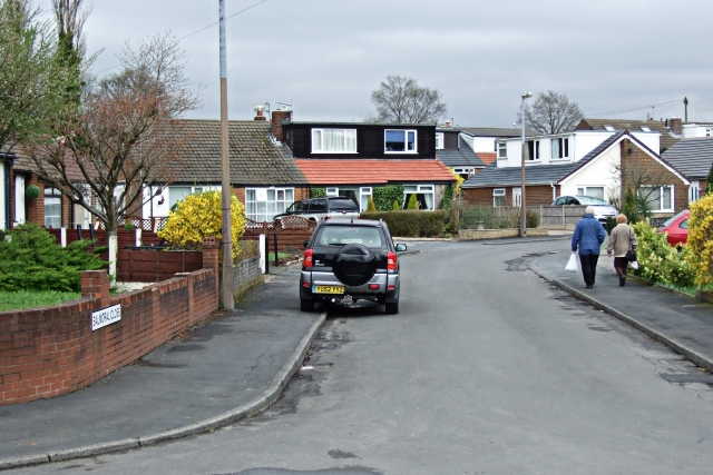
Image: © Bryan Tenny Taken: 5 Apr 2011
Part of a 1970s housing estate. The builder either used the names of rivers or gave his roads 'Royal' connections.
Images are licensed for reuse under creativecommons.org/licenses/by-sa/2.0
Image Location
Latitude
53.612515
Longitude
-2.104408