Marston
Introduction
The photograph on this page of Marston by Adrian Bailey as part of the Geograph project.
The Geograph project started in 2005 with the aim of publishing, organising and preserving representative images for every square kilometre of Great Britain, Ireland and the Isle of Man.

There are currently over 7.5m images from over 14,400 individuals and you can help contribute to the project by visiting https://www.geograph.org.uk
Marston
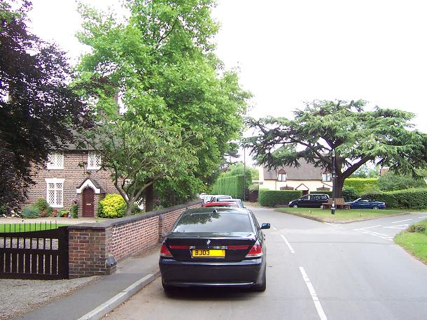
Image: © Adrian Bailey Taken: 3 Jul 2005
The old Kingsbury Road (ex B4141) passing through this little-known village. It's now bypassed by the A4097.
Images are licensed for reuse under creativecommons.org/licenses/by-sa/2.0
Image Location


Leaflet Map data © OpenStreetMap
Latitude
52.550656
Longitude
-1.696153