Valebridge Drive, World's End
Introduction
The photograph on this page of Valebridge Drive, World's End by Simon Carey as part of the Geograph project.
The Geograph project started in 2005 with the aim of publishing, organising and preserving representative images for every square kilometre of Great Britain, Ireland and the Isle of Man.

There are currently over 7.5m images from over 14,400 individuals and you can help contribute to the project by visiting https://www.geograph.org.uk
Valebridge Drive, World's End
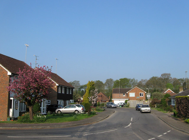
Image: © Simon Carey Taken: 17 Apr 2011
Taken at the junction with Image Once part of Valebridge Common until that was enclosed in 1828 with this section going to Theobalds Farm who grew a small wood called The Plantation. The wood lasted until the estate was sold off in 1920 with this area broken up into small plots for housebuilding which duly grew lining the eastern side of Valebridge Road. The small estate was constructed in the 1960s and initially turns east to south as it hits the district boundary between Mid Sussex and Lewes which is also the administrative boundary between both Sussexes.
Images are licensed for reuse under creativecommons.org/licenses/by-sa/2.0
Image Location
Latitude
50.968015
Longitude
-0.117222