Chichester Way, World's End
Introduction
The photograph on this page of Chichester Way, World's End by Simon Carey as part of the Geograph project.
The Geograph project started in 2005 with the aim of publishing, organising and preserving representative images for every square kilometre of Great Britain, Ireland and the Isle of Man.

There are currently over 7.5m images from over 14,400 individuals and you can help contribute to the project by visiting https://www.geograph.org.uk
Chichester Way, World's End
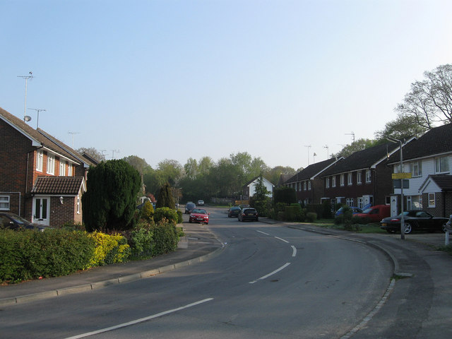
Image: © Simon Carey Taken: 17 Apr 2011
Taken from the junction with Image, it was once part of Valebridge Common that was enclosed in 1828 when this area became a wood known as The Plantation owned by Theobalds Farm until that was broken up and sold in 1920, this area in small plots chiefly designed for house building. The small estate was built during the 1960s and this road remained a cul-de-sac until the 1990s when the Charlwood Road estate was built off of it.
Images are licensed for reuse under creativecommons.org/licenses/by-sa/2.0
Image Location
Latitude
50.96836
Longitude
-0.116353