Alan Moss Road
Introduction
The photograph on this page of Alan Moss Road by Alan Murray-Rust as part of the Geograph project.
The Geograph project started in 2005 with the aim of publishing, organising and preserving representative images for every square kilometre of Great Britain, Ireland and the Isle of Man.

There are currently over 7.5m images from over 14,400 individuals and you can help contribute to the project by visiting https://www.geograph.org.uk
Alan Moss Road
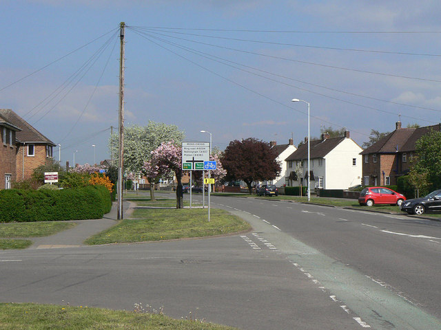
Image: © Alan Murray-Rust Taken: 16 Apr 2011
Forming part of Loughborough's ring road, this section follows the line of the former London and North Western Railway branch from Coalville.
Images are licensed for reuse under creativecommons.org/licenses/by-sa/2.0
Image Location
Latitude
52.776451
Longitude
-1.218433