Wood Field/Pond Field
Introduction
The photograph on this page of Wood Field/Pond Field by Simon Carey as part of the Geograph project.
The Geograph project started in 2005 with the aim of publishing, organising and preserving representative images for every square kilometre of Great Britain, Ireland and the Isle of Man.

There are currently over 7.5m images from over 14,400 individuals and you can help contribute to the project by visiting https://www.geograph.org.uk
Wood Field/Pond Field
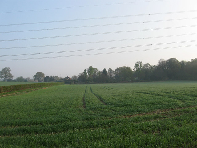
Image: © Simon Carey Taken: 17 Apr 2011
The name of the fields according to Wivelsfield's 1843 tithe map that have been joined together to make a larger unit. Wood Field was in the foreground and referred to the former Church Wood which lay immediately to the south, whilst Pond Field was situated towards the far end of the current field with Image just visible on the left.
Images are licensed for reuse under creativecommons.org/licenses/by-sa/2.0
Image Location
Latitude
50.975861
Longitude
-0.096392