Rogers Farm
Introduction
The photograph on this page of Rogers Farm by Simon Carey as part of the Geograph project.
The Geograph project started in 2005 with the aim of publishing, organising and preserving representative images for every square kilometre of Great Britain, Ireland and the Isle of Man.

There are currently over 7.5m images from over 14,400 individuals and you can help contribute to the project by visiting https://www.geograph.org.uk
Rogers Farm
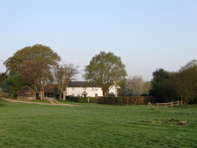
Image: © Simon Carey Taken: 17 Apr 2011
Located on the edge of Lunce's Common. The farm dates back to the 12th or 13th century though the current farmhouse in view was constructed in the early 19th. An older 17th century barn still stands to the rear.
Images are licensed for reuse under creativecommons.org/licenses/by-sa/2.0
Image Location
Latitude
50.977859
Longitude
-0.097592