Scrases Mead
Introduction
The photograph on this page of Scrases Mead by Simon Carey as part of the Geograph project.
The Geograph project started in 2005 with the aim of publishing, organising and preserving representative images for every square kilometre of Great Britain, Ireland and the Isle of Man.

There are currently over 7.5m images from over 14,400 individuals and you can help contribute to the project by visiting https://www.geograph.org.uk
Scrases Mead
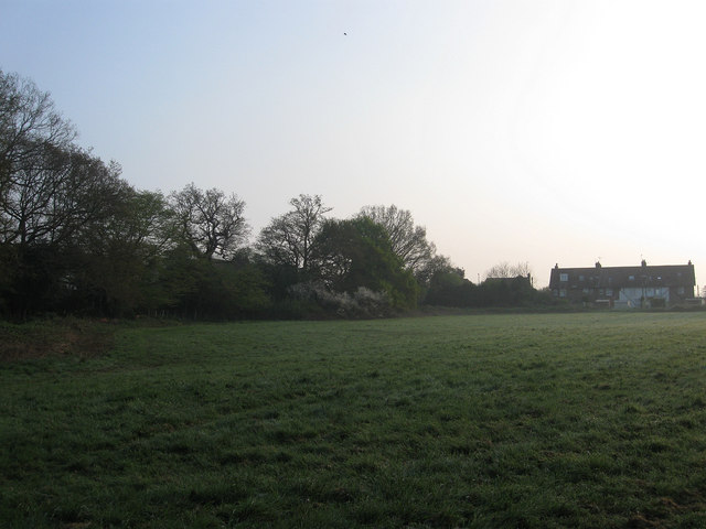
Image: © Simon Carey Taken: 17 Apr 2011
The name of the field according to Wivelsfield's 1843 tithe map. The row of houses at the far end of the field are the rear of Image Scrase was the name of a nearby local farm that disappeared with the development of the Fox Hill suburb of Haywards Heath.
Images are licensed for reuse under creativecommons.org/licenses/by-sa/2.0
Image Location
Latitude
50.981283
Longitude
-0.098022