Trew's Weir Suspension Bridge
Introduction
The photograph on this page of Trew's Weir Suspension Bridge by Derek Harper as part of the Geograph project.
The Geograph project started in 2005 with the aim of publishing, organising and preserving representative images for every square kilometre of Great Britain, Ireland and the Isle of Man.

There are currently over 7.5m images from over 14,400 individuals and you can help contribute to the project by visiting https://www.geograph.org.uk
Trew's Weir Suspension Bridge
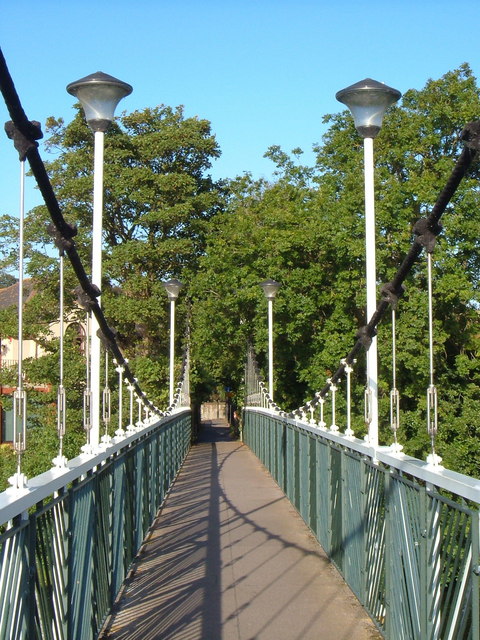
Image: © Derek Harper Taken: 8 Sep 2006
This suspension footbridge across the River Exe reaches the left bank at the start of Belle Isle Park, and is about 130 metres downstream from Trew's Weir. See also Image
Images are licensed for reuse under creativecommons.org/licenses/by-sa/2.0
Image Location


Leaflet Map data © OpenStreetMap
Latitude
50.713165
Longitude
-3.523564