Blackdown Hill
Introduction
The photograph on this page of Blackdown Hill by Alan Hunt as part of the Geograph project.
The Geograph project started in 2005 with the aim of publishing, organising and preserving representative images for every square kilometre of Great Britain, Ireland and the Isle of Man.

There are currently over 7.5m images from over 14,400 individuals and you can help contribute to the project by visiting https://www.geograph.org.uk
Blackdown Hill
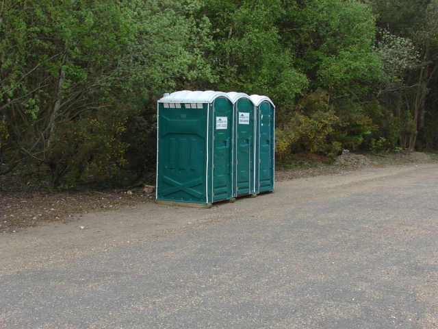
Image: © Alan Hunt Taken: 17 Apr 2011
Portaloos on the large area of hardstanding that was formerly the Blackdown Barracks. This is currently used as a dry training area by the military.
Images are licensed for reuse under creativecommons.org/licenses/by-sa/2.0
Image Location


Leaflet Map data © OpenStreetMap
Latitude
51.313308
Longitude
-0.70405