Blackdown housing development
Introduction
The photograph on this page of Blackdown housing development by Alan Hunt as part of the Geograph project.
The Geograph project started in 2005 with the aim of publishing, organising and preserving representative images for every square kilometre of Great Britain, Ireland and the Isle of Man.

There are currently over 7.5m images from over 14,400 individuals and you can help contribute to the project by visiting https://www.geograph.org.uk
Blackdown housing development
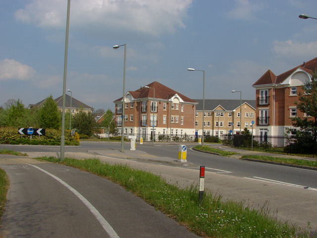
Image: © Alan Hunt Taken: 17 Apr 2011
New housing built on former MOD barracks from the B3015, Deepcut Road. The roundabout is the junction of Swordsman Road with the B3015.
Images are licensed for reuse under creativecommons.org/licenses/by-sa/2.0
Image Location
Latitude
51.31416
Longitude
-0.699722