Elsecar Greenway
Introduction
The photograph on this page of Elsecar Greenway by Richard Whitham as part of the Geograph project.
The Geograph project started in 2005 with the aim of publishing, organising and preserving representative images for every square kilometre of Great Britain, Ireland and the Isle of Man.

There are currently over 7.5m images from over 14,400 individuals and you can help contribute to the project by visiting https://www.geograph.org.uk
Elsecar Greenway
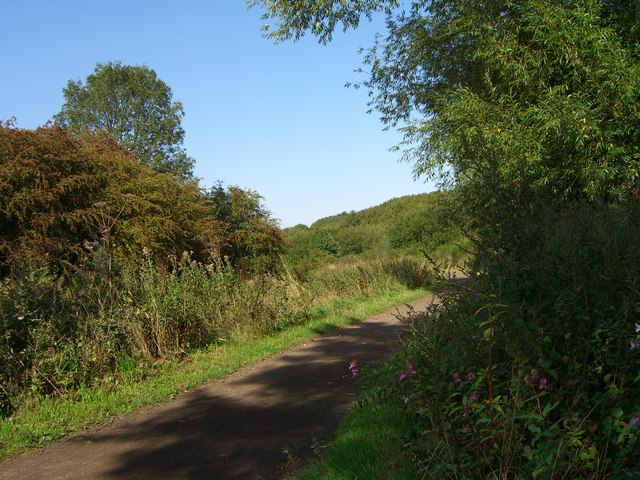
Image: © Richard Whitham Taken: 9 Sep 2006
This bridleway forms part of the Trans Pennine Trail.It runs alongside the Elsecar branch of the Dearne and Dove canal.The canal was used to transport coal from Elsecar pit, but was closed in 1928 due to competition from the railways.
Images are licensed for reuse under creativecommons.org/licenses/by-sa/2.0
Image Location


Leaflet Map data © OpenStreetMap
Latitude
53.50062
Longitude
-1.40599