Addington Road Health Centre
Introduction
The photograph on this page of Addington Road Health Centre by Christopher Hilton as part of the Geograph project.
The Geograph project started in 2005 with the aim of publishing, organising and preserving representative images for every square kilometre of Great Britain, Ireland and the Isle of Man.

There are currently over 7.5m images from over 14,400 individuals and you can help contribute to the project by visiting https://www.geograph.org.uk
Addington Road Health Centre
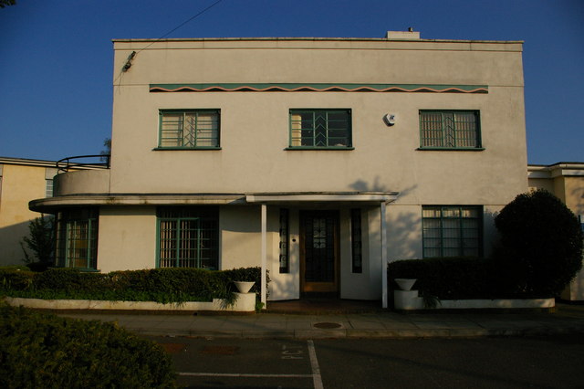
Image: © Christopher Hilton Taken: 17 Apr 2011
Inter-war development (serving, inter alia, the large Coney Hall estate built by private developers during the early 1930s): of a similar vintage to Shirley Library a little to the west Image
Images are licensed for reuse under creativecommons.org/licenses/by-sa/2.0
Image Location
Latitude
51.369629
Longitude
-0.00238