Upper High Street
Introduction
The photograph on this page of Upper High Street by Hugh Craddock as part of the Geograph project.
The Geograph project started in 2005 with the aim of publishing, organising and preserving representative images for every square kilometre of Great Britain, Ireland and the Isle of Man.

There are currently over 7.5m images from over 14,400 individuals and you can help contribute to the project by visiting https://www.geograph.org.uk
Upper High Street
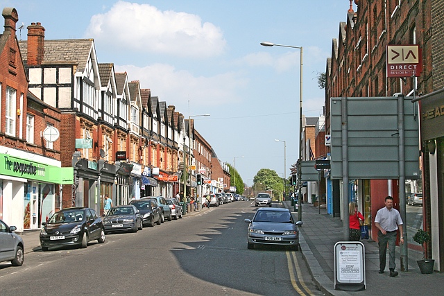
Image: © Hugh Craddock Taken: 17 Apr 2011
Upper High Street from the junction with Church Street. Formerly known as Station Road, because the London, Brighton and South Coast Railway built a line to Epsom in 1847 which terminated at Epsom Town station, about half way up Station Road. The buildings are recognisable from this Francis Frith photo taken in 1902: http://www.francisfrith.com/epsom/photos/station-road-1902_48086/ and http://www.geograph.org.uk/stuff/frith.php?id=2361693 , although the closure of the station in 1929 has meant that, over the years, the focal point of the town has shifted west towards Epsom station and the Ashley Shopping Centre.
Images are licensed for reuse under creativecommons.org/licenses/by-sa/2.0
Image Location
Latitude
51.334295
Longitude
-0.262321