Betley Mere
Introduction
The photograph on this page of Betley Mere by Peter Styles as part of the Geograph project.
The Geograph project started in 2005 with the aim of publishing, organising and preserving representative images for every square kilometre of Great Britain, Ireland and the Isle of Man.

There are currently over 7.5m images from over 14,400 individuals and you can help contribute to the project by visiting https://www.geograph.org.uk
Betley Mere
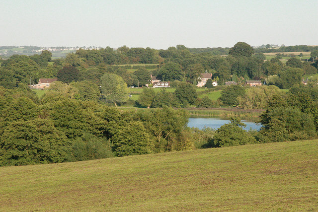
Image: © Peter Styles Taken: 8 Sep 2006
Betley Mere is a site of Special Scientific Interest (SSSI) and is one of the few natural standing waters in Staffordshire and occupies a shallow valley in glacial deposits overlying Triassic strata bounded on three sides by extensive peat deposits on which a very diverse range of vegetation types have developed.
Images are licensed for reuse under creativecommons.org/licenses/by-sa/2.0
Image Location


Leaflet Map data © OpenStreetMap
Latitude
53.027784
Longitude
-2.378673