Sneinton: view from the corner of Walker Street
Introduction
The photograph on this page of Sneinton: view from the corner of Walker Street by John Sutton as part of the Geograph project.
The Geograph project started in 2005 with the aim of publishing, organising and preserving representative images for every square kilometre of Great Britain, Ireland and the Isle of Man.

There are currently over 7.5m images from over 14,400 individuals and you can help contribute to the project by visiting https://www.geograph.org.uk
Sneinton: view from the corner of Walker Street
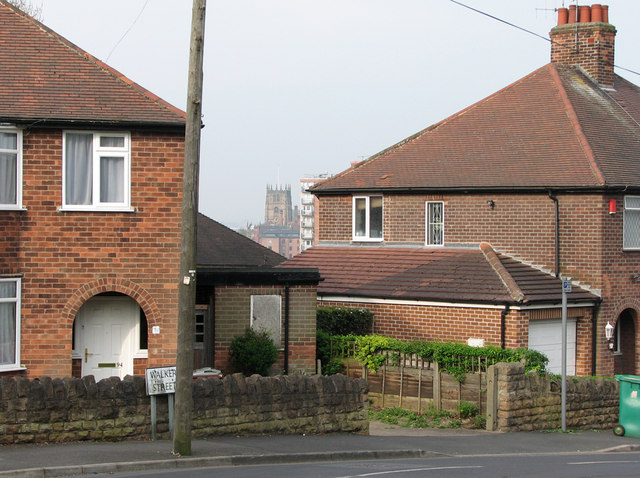
Image: © John Sutton Taken: 15 Apr 2011
Windmill Lane climbs up the marlstone hills which form the hilly eastern side of the city. St Mary's Church in The Lace Market, seen between the houses on the corner of Walker Street, is on the lower sandstone bluff above the former course of the River Leen on which the original Saxon burgh developed.
Images are licensed for reuse under creativecommons.org/licenses/by-sa/2.0
Image Location
Latitude
52.952586
Longitude
-1.13191