Sneinton view - 1
Introduction
The photograph on this page of Sneinton view - 1 by John Sutton as part of the Geograph project.
The Geograph project started in 2005 with the aim of publishing, organising and preserving representative images for every square kilometre of Great Britain, Ireland and the Isle of Man.

There are currently over 7.5m images from over 14,400 individuals and you can help contribute to the project by visiting https://www.geograph.org.uk
Sneinton view - 1
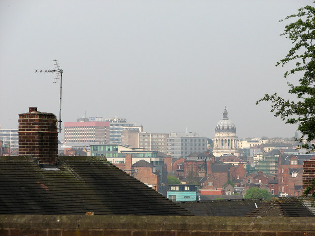
Image: © John Sutton Taken: 15 Apr 2011
A foreshortened zoom view from Windmill Lane, over the rooftops of Walker Street, towards the Council House and the unpleasant high-rise blocks of Maid Marian Way.
Images are licensed for reuse under creativecommons.org/licenses/by-sa/2.0
Image Location
Latitude
52.952973
Longitude
-1.135623