Wyke Lane, Farndon
Introduction
The photograph on this page of Wyke Lane, Farndon by Jonathan Thacker as part of the Geograph project.
The Geograph project started in 2005 with the aim of publishing, organising and preserving representative images for every square kilometre of Great Britain, Ireland and the Isle of Man.

There are currently over 7.5m images from over 14,400 individuals and you can help contribute to the project by visiting https://www.geograph.org.uk
Wyke Lane, Farndon
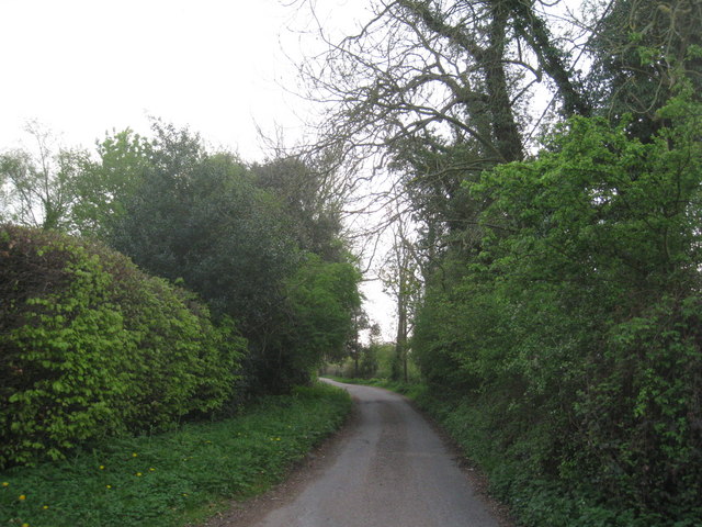
Image: © Jonathan Thacker Taken: 16 Apr 2011
Wyke Lane marks the boundary between the Trentside meadows and the slightly higher ground on which the village is built.
Images are licensed for reuse under creativecommons.org/licenses/by-sa/2.0
Image Location
Latitude
53.056792
Longitude
-0.857367