Riverside reflections near Trent Bridge
Introduction
The photograph on this page of Riverside reflections near Trent Bridge by John Sutton as part of the Geograph project.
The Geograph project started in 2005 with the aim of publishing, organising and preserving representative images for every square kilometre of Great Britain, Ireland and the Isle of Man.

There are currently over 7.5m images from over 14,400 individuals and you can help contribute to the project by visiting https://www.geograph.org.uk
Riverside reflections near Trent Bridge
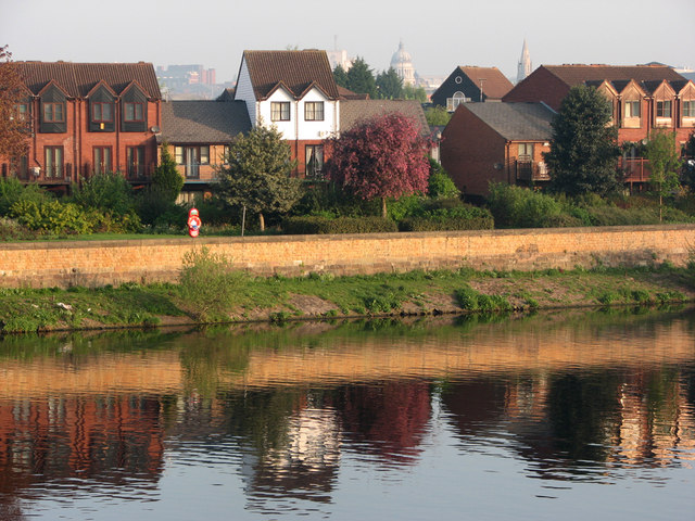
Image: © John Sutton Taken: 16 Apr 2011
These houses are part of the Quayside development on the former Turney Brothers site between Trent Bridge and Meadow Lane Lock on the left bank of the river. Trent University's Newton Building, the Council House and the former High Pavement Unitarian Chapel are on the hazy skyline. The picture was taken at about 7.15 on a sparkling spring morning.
Images are licensed for reuse under creativecommons.org/licenses/by-sa/2.0
Image Location
Latitude
52.939408
Longitude
-1.136935