Approaching Brushfield
Introduction
The photograph on this page of Approaching Brushfield by Jonathan Clitheroe as part of the Geograph project.
The Geograph project started in 2005 with the aim of publishing, organising and preserving representative images for every square kilometre of Great Britain, Ireland and the Isle of Man.

There are currently over 7.5m images from over 14,400 individuals and you can help contribute to the project by visiting https://www.geograph.org.uk
Approaching Brushfield
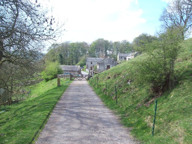
Image: © Jonathan Clitheroe Taken: 16 Apr 2011
Byway approaching Brushfield, a small knot of old farmsteads that sit mainly in SK1571. The route here was marshalled on this particular day, part of an organised ramble marking the 60th anniversary of the Peak District National Park.
Images are licensed for reuse under creativecommons.org/licenses/by-sa/2.0
Image Location
Latitude
53.240737
Longitude
-1.761267