The former Queen Victoria pub
Introduction
The photograph on this page of The former Queen Victoria pub by Steve Daniels as part of the Geograph project.
The Geograph project started in 2005 with the aim of publishing, organising and preserving representative images for every square kilometre of Great Britain, Ireland and the Isle of Man.

There are currently over 7.5m images from over 14,400 individuals and you can help contribute to the project by visiting https://www.geograph.org.uk
The former Queen Victoria pub
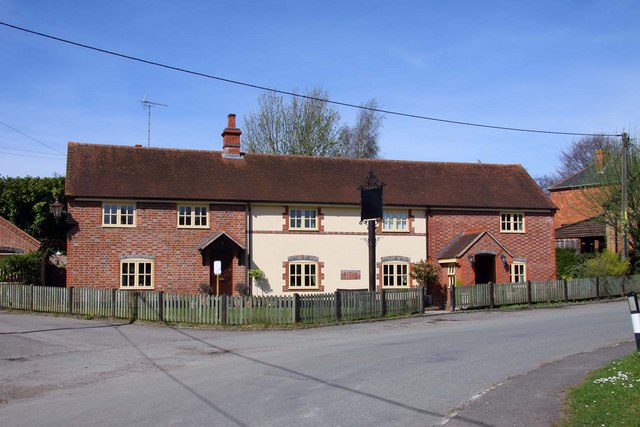
Image: © Steve Daniels Taken: 6 Apr 2011
The Queen Victoria was on Long Wittenham Road, but was closed by Morrells in 1999.
Images are licensed for reuse under creativecommons.org/licenses/by-sa/2.0
Image Location
Latitude
51.602381
Longitude
-1.193843