National Cycle Route at Inverkip
Introduction
The photograph on this page of National Cycle Route at Inverkip by Thomas Nugent as part of the Geograph project.
The Geograph project started in 2005 with the aim of publishing, organising and preserving representative images for every square kilometre of Great Britain, Ireland and the Isle of Man.

There are currently over 7.5m images from over 14,400 individuals and you can help contribute to the project by visiting https://www.geograph.org.uk
National Cycle Route at Inverkip
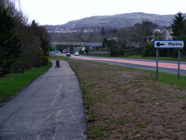
Image: © Thomas Nugent Taken: 6 Apr 2011
A short section of Route 753 by the A78 at Kip Marina was constructed in March 2011. It will eventually connect to the route at Lunderston Bay by means of an improved path along the shore at Ardgowan Estate.
Images are licensed for reuse under creativecommons.org/licenses/by-sa/2.0
Image Location
Latitude
55.908451
Longitude
-4.87212