Aldershot Military Town
Introduction
The photograph on this page of Aldershot Military Town by Colin Smith as part of the Geograph project.
The Geograph project started in 2005 with the aim of publishing, organising and preserving representative images for every square kilometre of Great Britain, Ireland and the Isle of Man.

There are currently over 7.5m images from over 14,400 individuals and you can help contribute to the project by visiting https://www.geograph.org.uk
Aldershot Military Town
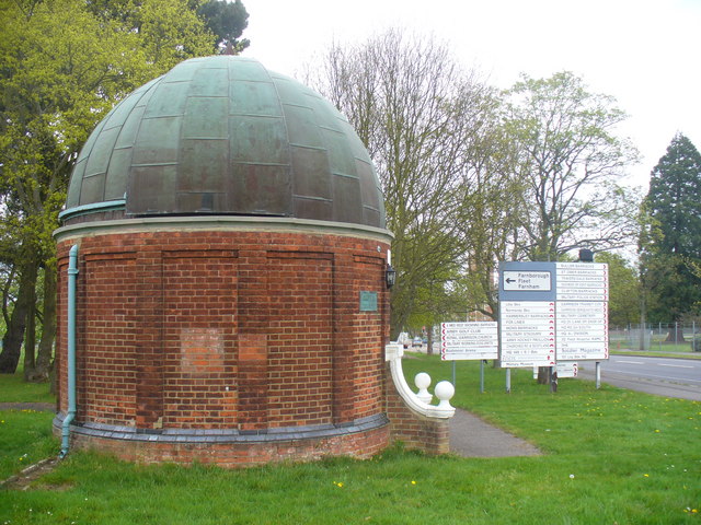
Image: © Colin Smith Taken: 16 Apr 2011
Domed red brick building beside a road sign on Queens Avenue with a wide range of destinations in Aldershot's North Camp.
Images are licensed for reuse under creativecommons.org/licenses/by-sa/2.0
Image Location
Latitude
51.258281
Longitude
-0.76278