Horsforth: Houses visible from the footpath leading from Lister Hill to Long Row
Introduction
The photograph on this page of Horsforth: Houses visible from the footpath leading from Lister Hill to Long Row by Dr Neil Clifton as part of the Geograph project.
The Geograph project started in 2005 with the aim of publishing, organising and preserving representative images for every square kilometre of Great Britain, Ireland and the Isle of Man.

There are currently over 7.5m images from over 14,400 individuals and you can help contribute to the project by visiting https://www.geograph.org.uk
Horsforth: Houses visible from the footpath leading from Lister Hill to Long Row
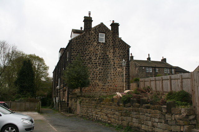
Image: © Dr Neil Clifton Taken: 14 Apr 2011
Images are licensed for reuse under creativecommons.org/licenses/by-sa/2.0
Image Location
Latitude
53.84452
Longitude
-1.63246