Cullompton: towards St Andrew's Hill
Introduction
The photograph on this page of Cullompton: towards St Andrew's Hill by Martin Bodman as part of the Geograph project.
The Geograph project started in 2005 with the aim of publishing, organising and preserving representative images for every square kilometre of Great Britain, Ireland and the Isle of Man.

There are currently over 7.5m images from over 14,400 individuals and you can help contribute to the project by visiting https://www.geograph.org.uk
Cullompton: towards St Andrew's Hill
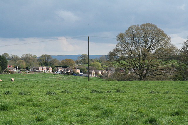
Image: © Martin Bodman Taken: 16 Apr 2011
Farmland and housing at the north western edge of Cullompton town. The Blackdown ridge is visible, in the distance, on the skyline
Images are licensed for reuse under creativecommons.org/licenses/by-sa/2.0
Image Location
Latitude
50.854997
Longitude
-3.408271