Matlock townscape
Introduction
The photograph on this page of Matlock townscape by Andrew Hill as part of the Geograph project.
The Geograph project started in 2005 with the aim of publishing, organising and preserving representative images for every square kilometre of Great Britain, Ireland and the Isle of Man.

There are currently over 7.5m images from over 14,400 individuals and you can help contribute to the project by visiting https://www.geograph.org.uk
Matlock townscape
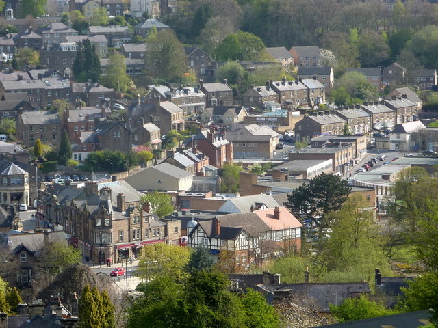
Image: © Andrew Hill Taken: 12 Apr 2011
Part of the town centre seen from the Limestone Way as it climbs southwest from the town. The distinctive block of buildings at the lower left with a red car in front is at the main junction at the foot of Bank Road.
Images are licensed for reuse under creativecommons.org/licenses/by-sa/2.0
Image Location
Latitude
53.138655
Longitude
-1.553452