Cullompton: old field boundary
Introduction
The photograph on this page of Cullompton: old field boundary by Martin Bodman as part of the Geograph project.
The Geograph project started in 2005 with the aim of publishing, organising and preserving representative images for every square kilometre of Great Britain, Ireland and the Isle of Man.

There are currently over 7.5m images from over 14,400 individuals and you can help contribute to the project by visiting https://www.geograph.org.uk
Cullompton: old field boundary
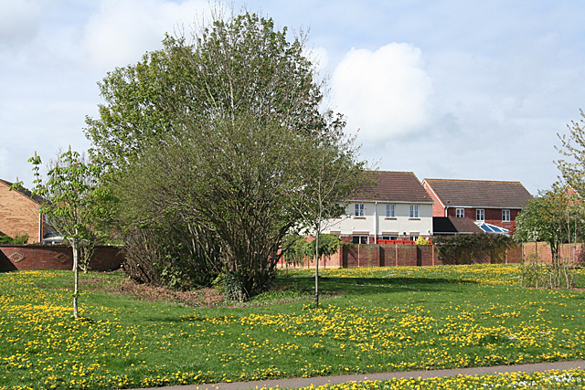
Image: © Martin Bodman Taken: 16 Apr 2011
Overgrown hedge retained on open land in a part of the town known locally as 'the birds'. Just off Swallow Way
Images are licensed for reuse under creativecommons.org/licenses/by-sa/2.0
Image Location
Latitude
50.852905
Longitude
-3.402809