Houses at the northern end of Gerddi Ty Mawr, Upper Gelligroes
Introduction
The photograph on this page of Houses at the northern end of Gerddi Ty Mawr, Upper Gelligroes by Jaggery as part of the Geograph project.
The Geograph project started in 2005 with the aim of publishing, organising and preserving representative images for every square kilometre of Great Britain, Ireland and the Isle of Man.

There are currently over 7.5m images from over 14,400 individuals and you can help contribute to the project by visiting https://www.geograph.org.uk
Houses at the northern end of Gerddi Ty Mawr, Upper Gelligroes
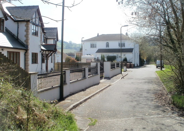
Image: © Jaggery Taken: 7 Apr 2011
The northern end of the road named Gerddi Ty Mawr is near a footbridge http://www.geograph.org.uk/photo/2359581 over the A472. The Halfway House http://www.geograph.org.uk/photo/2359575 is ahead, out of shot around the corner.
Images are licensed for reuse under creativecommons.org/licenses/by-sa/2.0
Image Location
Latitude
51.645922
Longitude
-3.193736