Beside the A41 Berkhamsted by-pass
Introduction
The photograph on this page of Beside the A41 Berkhamsted by-pass by David Purchase as part of the Geograph project.
The Geograph project started in 2005 with the aim of publishing, organising and preserving representative images for every square kilometre of Great Britain, Ireland and the Isle of Man.

There are currently over 7.5m images from over 14,400 individuals and you can help contribute to the project by visiting https://www.geograph.org.uk
Beside the A41 Berkhamsted by-pass
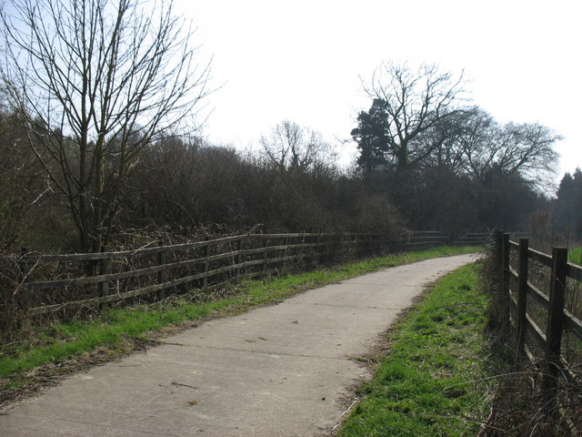
Image: © David Purchase Taken: 25 Mar 2011
This farm access track (also a Right of Way) was clearly realigned at the time that the bypass (in a cutting to the left) was constructed. Despite the gazetteer info, all of this photo is - just - in Hertfordshire.
Images are licensed for reuse under creativecommons.org/licenses/by-sa/2.0
Image Location
Latitude
51.752301
Longitude
-0.587507