Council Housing - Flats in New Park Village
Introduction
The photograph on this page of Council Housing - Flats in New Park Village by John M as part of the Geograph project.
The Geograph project started in 2005 with the aim of publishing, organising and preserving representative images for every square kilometre of Great Britain, Ireland and the Isle of Man.

There are currently over 7.5m images from over 14,400 individuals and you can help contribute to the project by visiting https://www.geograph.org.uk
Council Housing - Flats in New Park Village
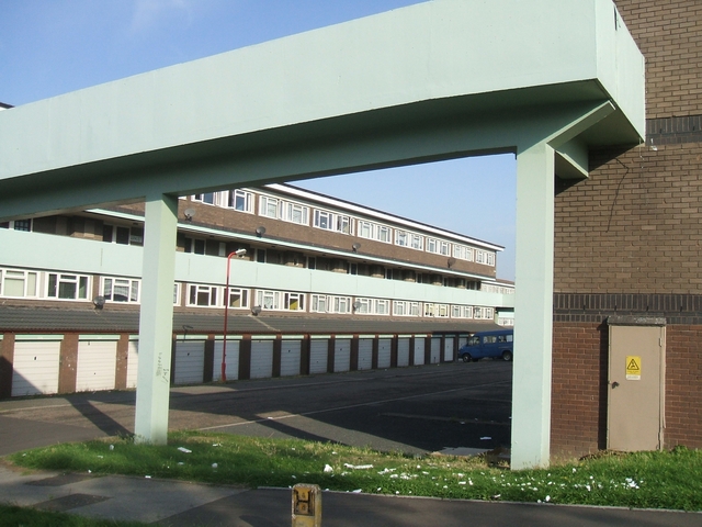
Image: © John M Taken: 9 Sep 2006
Flats built to replace properties demolished in nearby Park Village.
Images are licensed for reuse under creativecommons.org/licenses/by-sa/2.0
Image Location


Leaflet Map data © OpenStreetMap
Latitude
52.596846
Longitude
-2.106252