Brodick Bay
Introduction
The photograph on this page of Brodick Bay by Ashley Dace as part of the Geograph project.
The Geograph project started in 2005 with the aim of publishing, organising and preserving representative images for every square kilometre of Great Britain, Ireland and the Isle of Man.

There are currently over 7.5m images from over 14,400 individuals and you can help contribute to the project by visiting https://www.geograph.org.uk
Brodick Bay
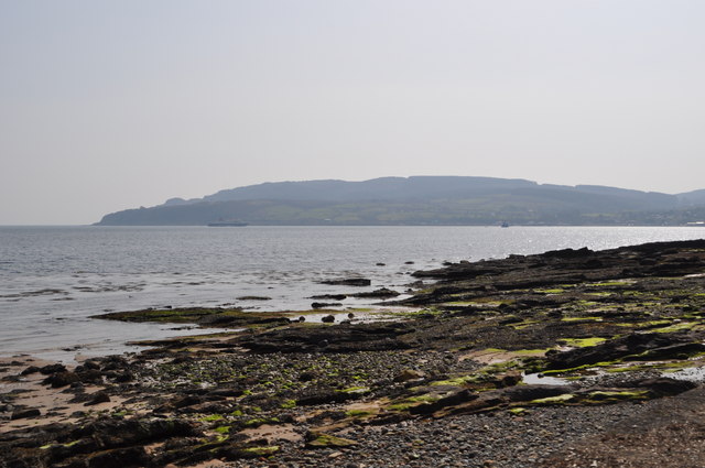
Image: © Ashley Dace Taken: 10 Apr 2011
The Lowestoft built ferry arrives at Brodick, taken during the April 2011 mini heatwave. http://www.calmac.co.uk/
Images are licensed for reuse under creativecommons.org/licenses/by-sa/2.0
Image Location
Latitude
55.601059
Longitude
-5.134614