Noonsun Hill and Tunstead, Greenfield, from Poppas Lane
Introduction
The photograph on this page of Noonsun Hill and Tunstead, Greenfield, from Poppas Lane by Michael Fox as part of the Geograph project.
The Geograph project started in 2005 with the aim of publishing, organising and preserving representative images for every square kilometre of Great Britain, Ireland and the Isle of Man.

There are currently over 7.5m images from over 14,400 individuals and you can help contribute to the project by visiting https://www.geograph.org.uk
Noonsun Hill and Tunstead, Greenfield, from Poppas Lane
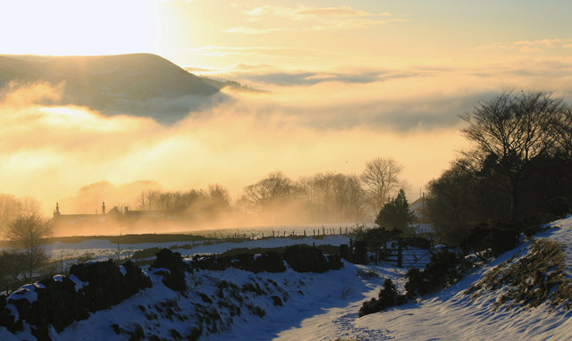
Image: © Michael Fox Taken: 5 Dec 2010
The dramatic result of a temperature inversion, with fog filling the Tame and Greenfield valleys.
Images are licensed for reuse under creativecommons.org/licenses/by-sa/2.0
Image Location
Latitude
53.537958
Longitude
-1.993323