Spring Park Wood
Introduction
The photograph on this page of Spring Park Wood by Mike Quinn as part of the Geograph project.
The Geograph project started in 2005 with the aim of publishing, organising and preserving representative images for every square kilometre of Great Britain, Ireland and the Isle of Man.

There are currently over 7.5m images from over 14,400 individuals and you can help contribute to the project by visiting https://www.geograph.org.uk
Spring Park Wood
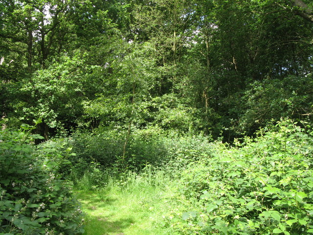
Image: © Mike Quinn Taken: 16 Jun 2010
This rather sad little rectangular patch of woodland is one of the remnants of what, even in the 1930s, was a very large wood - see the current and 1930s OS maps http://wtp2.appspot.com/wheresthepath.htm?lat=51.3725305044254&lon=-0.026092529296875&gz=14&oz=8>=5.
Images are licensed for reuse under creativecommons.org/licenses/by-sa/2.0
Image Location
Latitude
51.372625
Longitude
-0.026359