King Street
Introduction
The photograph on this page of King Street by Gerald England as part of the Geograph project.
The Geograph project started in 2005 with the aim of publishing, organising and preserving representative images for every square kilometre of Great Britain, Ireland and the Isle of Man.

There are currently over 7.5m images from over 14,400 individuals and you can help contribute to the project by visiting https://www.geograph.org.uk
King Street
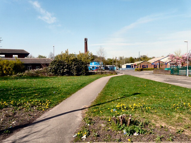
Image: © Gerald England Taken: 10 Apr 2011
Little now exists on King Street. Its Southern link to George Street and the rest of town was destroyed when the m67 motorway was driven through in the late 70s. Now it just provides access from Clark Way to a couple of properties on Grafton Street. Across Clark Way is a builders merchant and timber yard. The old mill chimney Image belonged to Winterbotham's tripe dressing factory on Bank Street.
Images are licensed for reuse under creativecommons.org/licenses/by-sa/2.0
Image Location
Latitude
53.453889
Longitude
-2.080526