The Belfast Road, Muckamore
Introduction
The photograph on this page of The Belfast Road, Muckamore by Albert Bridge as part of the Geograph project.
The Geograph project started in 2005 with the aim of publishing, organising and preserving representative images for every square kilometre of Great Britain, Ireland and the Isle of Man.

There are currently over 7.5m images from over 14,400 individuals and you can help contribute to the project by visiting https://www.geograph.org.uk
The Belfast Road, Muckamore
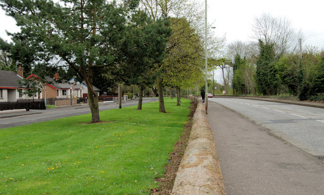
Image: © Albert Bridge Taken: 14 Apr 2011
The Antrim – Templepatrick/Belfast road (right) as it passes the Ballycraigy estate. In the days before the M2 this was part of the main road from Belfast to an area stretching from Cookstown to Ballycastle. Very quiet now.
Images are licensed for reuse under creativecommons.org/licenses/by-sa/2.0
Image Location
Latitude
54.704332
Longitude
-6.182018