What is planned for this area?
Introduction
The photograph on this page of What is planned for this area? by Robin Webster as part of the Geograph project.
The Geograph project started in 2005 with the aim of publishing, organising and preserving representative images for every square kilometre of Great Britain, Ireland and the Isle of Man.

There are currently over 7.5m images from over 14,400 individuals and you can help contribute to the project by visiting https://www.geograph.org.uk
What is planned for this area?
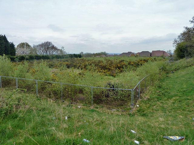
Image: © Robin Webster Taken: 14 Apr 2011
Apparently former tennis courts of the nearby comprehensive school, this level area is now fenced off and nature is taking over.
Images are licensed for reuse under creativecommons.org/licenses/by-sa/2.0
Image Location
Latitude
51.056549
Longitude
0.170768