Talysarn Bridge
Introduction
The photograph on this page of Talysarn Bridge by Eric Jones as part of the Geograph project.
The Geograph project started in 2005 with the aim of publishing, organising and preserving representative images for every square kilometre of Great Britain, Ireland and the Isle of Man.

There are currently over 7.5m images from over 14,400 individuals and you can help contribute to the project by visiting https://www.geograph.org.uk
Talysarn Bridge
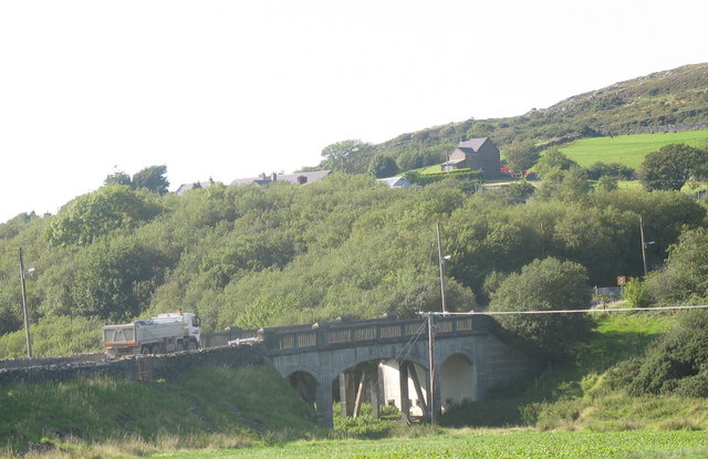
Image: © Eric Jones Taken: 8 Sep 2006
This ornate bridge, carrying the B4418, was built in the 1920s as part of the scheme for constructing a new road through the valley. This had become necessary because the old Nantlle road, which ran north of Afon Llyfni had collapsed into one of the quarry pits
Images are licensed for reuse under creativecommons.org/licenses/by-sa/2.0
Image Location
Latitude
53.051043
Longitude
-4.25572