Wilson Brook
Introduction
The photograph on this page of Wilson Brook by Gerald England as part of the Geograph project.
The Geograph project started in 2005 with the aim of publishing, organising and preserving representative images for every square kilometre of Great Britain, Ireland and the Isle of Man.

There are currently over 7.5m images from over 14,400 individuals and you can help contribute to the project by visiting https://www.geograph.org.uk
Wilson Brook
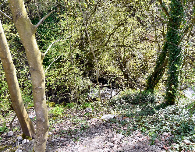
Image: © Gerald England Taken: 10 Apr 2011
The steep wooded valley of the Wilson Brook. Secluded for years inside the complex of the Automasters Engineering Works it can now be moved from the Moorside Place housing development.
Images are licensed for reuse under creativecommons.org/licenses/by-sa/2.0
Image Location
Latitude
53.453704
Longitude
-2.088205