Midland Terrace, Westhouses
Introduction
The photograph on this page of Midland Terrace, Westhouses by Nikki Mahadevan as part of the Geograph project.
The Geograph project started in 2005 with the aim of publishing, organising and preserving representative images for every square kilometre of Great Britain, Ireland and the Isle of Man.

There are currently over 7.5m images from over 14,400 individuals and you can help contribute to the project by visiting https://www.geograph.org.uk
Midland Terrace, Westhouses
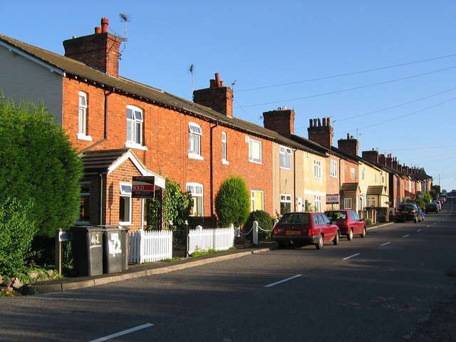
Image: © Nikki Mahadevan Taken: 8 Sep 2006
When a locomotive depot and sidings was constructed at Westhouses to service local collieries, Midland Terrace, consisting of 45 houses, was built to provide housing for the expanding workforce. The railway still runs behind the houses, although the sidings and depot no longer exist.
Images are licensed for reuse under creativecommons.org/licenses/by-sa/2.0
Image Location
Latitude
53.121104
Longitude
-1.369394