Farmland at Lock Lane
Introduction
The photograph on this page of Farmland at Lock Lane by Phil Platt as part of the Geograph project.
The Geograph project started in 2005 with the aim of publishing, organising and preserving representative images for every square kilometre of Great Britain, Ireland and the Isle of Man.

There are currently over 7.5m images from over 14,400 individuals and you can help contribute to the project by visiting https://www.geograph.org.uk
Farmland at Lock Lane
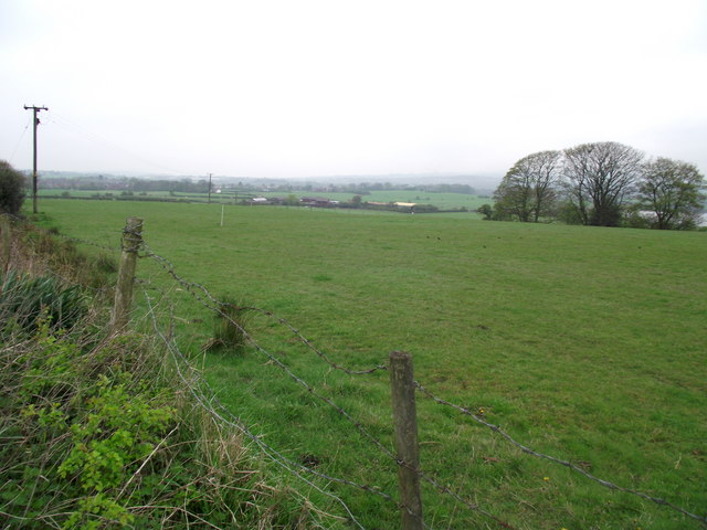
Image: © Phil Platt Taken: 14 Apr 2011
Empty today, but I have seen at other times, sheep, cows and horses.
Images are licensed for reuse under creativecommons.org/licenses/by-sa/2.0
Image Location
Latitude
53.560422
Longitude
-2.487885