View up the line at Higham alongside the derelict Thames & Medway Canal
Introduction
The photograph on this page of View up the line at Higham alongside the derelict Thames & Medway Canal by Marathon as part of the Geograph project.
The Geograph project started in 2005 with the aim of publishing, organising and preserving representative images for every square kilometre of Great Britain, Ireland and the Isle of Man.

There are currently over 7.5m images from over 14,400 individuals and you can help contribute to the project by visiting https://www.geograph.org.uk
View up the line at Higham alongside the derelict Thames & Medway Canal
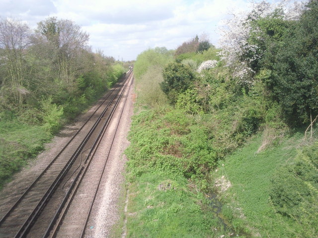
Image: © Marathon Taken: 12 Apr 2011
Taken from the road bridge at Higham station, the watercourse on the right is part of the derelict Thames & Medway Canal which was opened between Gravesend and Higham in 1801 and fully opened to Strood in 1824. It continued in use until 1934 but had long been usurped and in places replaced by the adjacent railway line which opened in 1845.
Images are licensed for reuse under creativecommons.org/licenses/by-sa/2.0
Image Location
Latitude
51.429207
Longitude
0.463025