Washwell Lane
Introduction
The photograph on this page of Washwell Lane by Oast House Archive as part of the Geograph project.
The Geograph project started in 2005 with the aim of publishing, organising and preserving representative images for every square kilometre of Great Britain, Ireland and the Isle of Man.

There are currently over 7.5m images from over 14,400 individuals and you can help contribute to the project by visiting https://www.geograph.org.uk
Washwell Lane
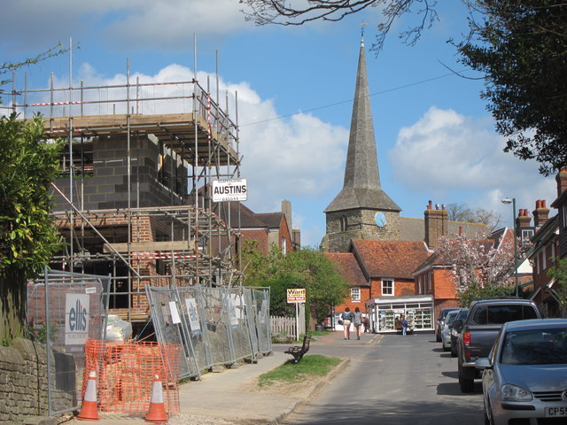
Image: © Oast House Archive Taken: 12 Apr 2011
Top of Washwell Lane heading into the centre of Wadhurst village. A new development is under construction to the left, on the site of demolished bungalow. Church of Peter and Paul seen in centre.
Images are licensed for reuse under creativecommons.org/licenses/by-sa/2.0
Image Location
Latitude
51.061586
Longitude
0.338557