Tanyard Meadow
Introduction
The photograph on this page of Tanyard Meadow by Simon Carey as part of the Geograph project.
The Geograph project started in 2005 with the aim of publishing, organising and preserving representative images for every square kilometre of Great Britain, Ireland and the Isle of Man.

There are currently over 7.5m images from over 14,400 individuals and you can help contribute to the project by visiting https://www.geograph.org.uk
Tanyard Meadow
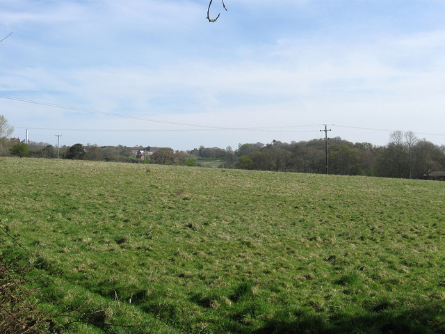
Image: © Simon Carey Taken: 10 Apr 2011
The name of the field according to the 1843 tithe map and whose name remembers the former tanyard that once existed on the site of the current Hurstwood House. The yard operated from the medieval period until the 1830s and was still marked as such on the 1841 census and 1843 tithe map. The Haywards Heath relief road is due to pass through to the north which may suggest that the area between that and Hurstwood Lane to the south may one day end of under a housing estate.
Images are licensed for reuse under creativecommons.org/licenses/by-sa/2.0
Image Location
Latitude
50.982954
Longitude
-0.095674