Fox Hill Village, Fox Hill
Introduction
The photograph on this page of Fox Hill Village, Fox Hill by Simon Carey as part of the Geograph project.
The Geograph project started in 2005 with the aim of publishing, organising and preserving representative images for every square kilometre of Great Britain, Ireland and the Isle of Man.

There are currently over 7.5m images from over 14,400 individuals and you can help contribute to the project by visiting https://www.geograph.org.uk
Fox Hill Village, Fox Hill
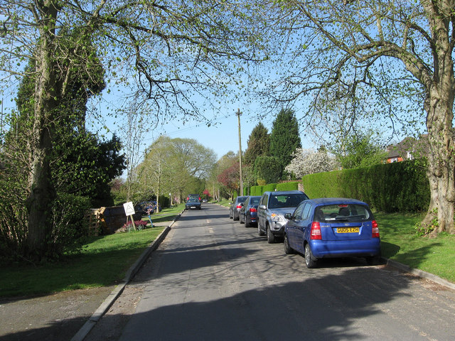
Image: © Simon Carey Taken: 10 Apr 2011
A cul-de-sac off the B2112 which was laid out in the late 1930s but other than one or two houses the rest of the road was not developed until after the war. According to Wivelsfield's tithe map of 1843 this was once Grove Field.
Images are licensed for reuse under creativecommons.org/licenses/by-sa/2.0
Image Location
Latitude
50.982189
Longitude
-0.098412