Fox Hill Close, Fox Hill
Introduction
The photograph on this page of Fox Hill Close, Fox Hill by Simon Carey as part of the Geograph project.
The Geograph project started in 2005 with the aim of publishing, organising and preserving representative images for every square kilometre of Great Britain, Ireland and the Isle of Man.

There are currently over 7.5m images from over 14,400 individuals and you can help contribute to the project by visiting https://www.geograph.org.uk
Fox Hill Close, Fox Hill
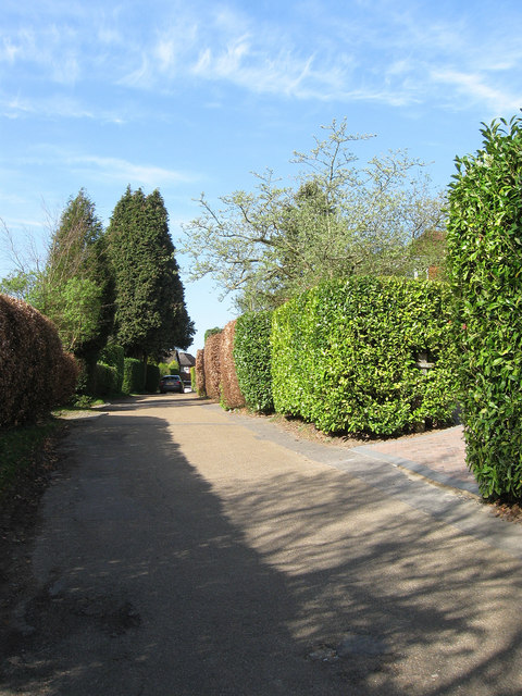
Image: © Simon Carey Taken: 10 Apr 2011
Small cul-de-sac off the B2112 built between the wars on a former field called Sycamore Field according to the 1843 Wivelsfield tithe map.
Images are licensed for reuse under creativecommons.org/licenses/by-sa/2.0
Image Location
Latitude
50.983192
Longitude
-0.099226