Haywards Heath Relief Road (Under Construction)
Introduction
The photograph on this page of Haywards Heath Relief Road (Under Construction) by Simon Carey as part of the Geograph project.
The Geograph project started in 2005 with the aim of publishing, organising and preserving representative images for every square kilometre of Great Britain, Ireland and the Isle of Man.

There are currently over 7.5m images from over 14,400 individuals and you can help contribute to the project by visiting https://www.geograph.org.uk
Haywards Heath Relief Road (Under Construction)
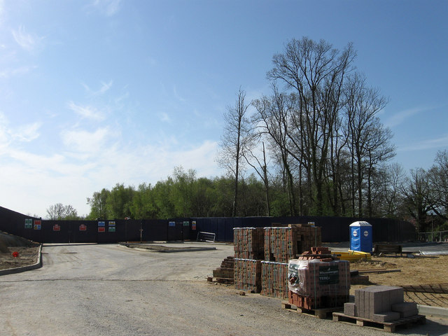
Image: © Simon Carey Taken: 10 Apr 2011
First given the go ahead back in 1998 the final completed route is not due to open until 2015. Built to relieve the terrible congestion in the centre of the town during rush hour by diverting the A272 away from the centre. Its long gestation is due to it being built in stages in tandem with other housing developments as well as by two different developers. Part of the road has been built in conjunction with the Bolnore village development on the western side of town but currently stops just north of Rocky Lane. From there the road will swing east, cross the London-Brighton railway by way of a new bridge then follow the course of Rocky Lane to a big roundabout (See Image) at the junction of the B2112. The view here is of the route the road will take when it leaves the roundabout heading eastwards to join the current A272 at this point Image This part of the relief road is bound up with another housing development in and around the former St Francis Hospital. Straight ahead is the remnant of Image much of which has been grubbed to make way for the road. This area of Haywards was until 1934 part of the parish of Wivelsfield.
Images are licensed for reuse under creativecommons.org/licenses/by-sa/2.0
Image Location
Latitude
50.987434
Longitude
-0.100193