Colwell Road
Introduction
The photograph on this page of Colwell Road by Simon Carey as part of the Geograph project.
The Geograph project started in 2005 with the aim of publishing, organising and preserving representative images for every square kilometre of Great Britain, Ireland and the Isle of Man.

There are currently over 7.5m images from over 14,400 individuals and you can help contribute to the project by visiting https://www.geograph.org.uk
Colwell Road
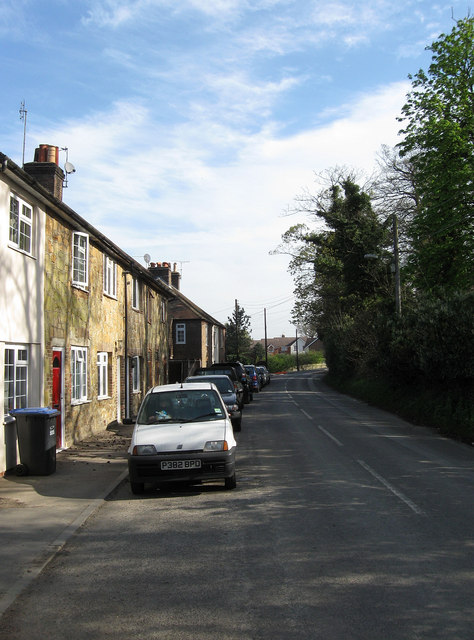
Image: © Simon Carey Taken: 10 Apr 2011
See Image for a history. The cottages on the left were built during the 1860s with locally quarried sandstone. This part of the road is being turned into a cul-de-sac due to the construction of the Haywards Heath relief road. This area of Haywards Heath was once part of Wivelsfield parish until boundary changes in 1934.
Images are licensed for reuse under creativecommons.org/licenses/by-sa/2.0
Image Location
Latitude
50.988787
Longitude
-0.100422