Ploughed field, Rufforth Hills
Introduction
The photograph on this page of Ploughed field, Rufforth Hills by Rich Tea as part of the Geograph project.
The Geograph project started in 2005 with the aim of publishing, organising and preserving representative images for every square kilometre of Great Britain, Ireland and the Isle of Man.

There are currently over 7.5m images from over 14,400 individuals and you can help contribute to the project by visiting https://www.geograph.org.uk
Ploughed field, Rufforth Hills
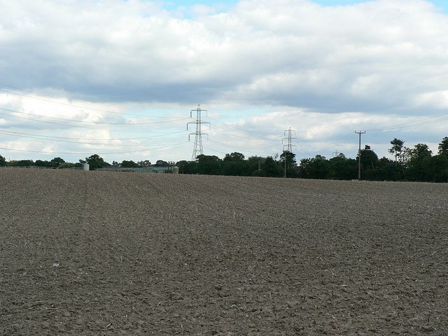
Image: © Rich Tea Taken: 7 Sep 2006
Looking from the lane that runs from Rufford Lane towards Ollerton. Buildings of Brick Yard Farm at the far side of the field.
Images are licensed for reuse under creativecommons.org/licenses/by-sa/2.0
Image Location
Latitude
53.186159
Longitude
-1.01975