Farmland south-east of Clynmawr, Carmarthenshire
Introduction
The photograph on this page of Farmland south-east of Clynmawr, Carmarthenshire by Roger D Kidd as part of the Geograph project.
The Geograph project started in 2005 with the aim of publishing, organising and preserving representative images for every square kilometre of Great Britain, Ireland and the Isle of Man.

There are currently over 7.5m images from over 14,400 individuals and you can help contribute to the project by visiting https://www.geograph.org.uk
Farmland south-east of Clynmawr, Carmarthenshire
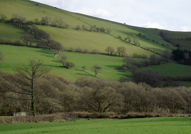
Image: © Roger D Kidd Taken: 2 Apr 2011
Seen with a bit of telephoto assistance from the narrow lane to Cynghordy.
Images are licensed for reuse under creativecommons.org/licenses/by-sa/2.0
Image Location
Latitude
52.045698
Longitude
-3.788816