Gower Hey Valley
Introduction
The photograph on this page of Gower Hey Valley by Gerald England as part of the Geograph project.
The Geograph project started in 2005 with the aim of publishing, organising and preserving representative images for every square kilometre of Great Britain, Ireland and the Isle of Man.

There are currently over 7.5m images from over 14,400 individuals and you can help contribute to the project by visiting https://www.geograph.org.uk
Gower Hey Valley
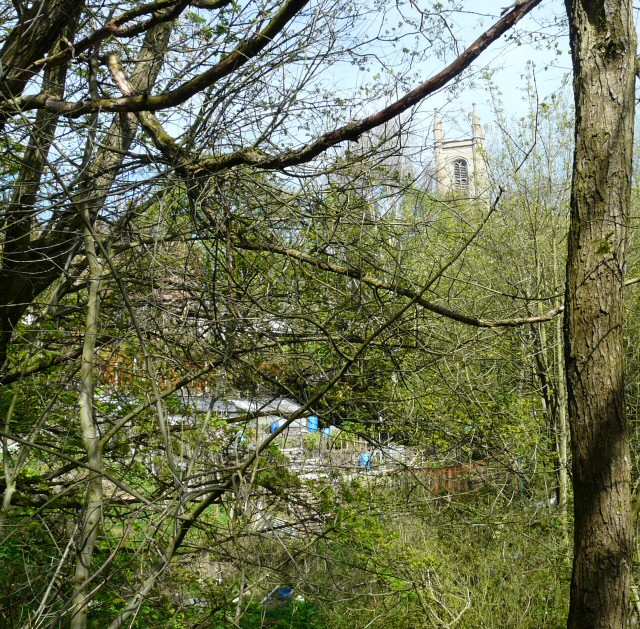
Image: © Gerald England Taken: 10 Apr 2011
A glimpse of St George's church across the valley of Gower Hey Brook from the bottom of Gower Road. An allotment can be seen on the slope below Wood End Lane.
Images are licensed for reuse under creativecommons.org/licenses/by-sa/2.0
Image Location
Latitude
53.445801
Longitude
-2.079005